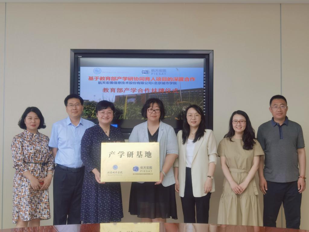
Recently, BCU and PIESAT Information Technology Co.,Ltd. (PLESAT) jointly held the launch ceremony of industry-university-research base. Mr. Liu Dongsheng, Senior Vice President and Chief Brand Officer of PLESAT, Ms. Tian Yinzhi, Deputy General Manager of PLESAT, Ms. Li Yan, Chief Engineer of University Cooperation and Promotion Department of PIESAT, Prof. Yuan Jia, Vice President of BCU, Prof. Meng Yuan, Director of School of Urban Construction, Prof. Huang Yanchao, Director of Urban Management Department, and Dr. Mao Haiying, outstanding teacher of Geographic Information Science attended the ceremony.
Prof. Yuan Jia and Prof. Meng Yuan led the delegation of PIESAT to visit the Experimental Center of School of Urban Construction. Dr. Mao Haiying then reported on the collaboration between BCU and enterprises from three aspects: the foundation, the achievements and the outlook of the collaboration. Afterwards, both sides conducted deep discussion on the follow-up collaboration. Mr. Liu Dongsheng demonstrated that PIESAT will actively cooperate with universities and colleges in the fields of industry-university-research, talent cultivation, internship and employment, and will strive to explore more diversified forms of cooperation. Prof. Yuan Jia spoke highly of the collaboration between PIESAT and BCU in recent years and expressed her hope for more in-depth collaboration in the future. At the end, Prof. Meng Yuan and Ms. Li Yan jointly presented the plaque for the industry-university-research base.
PIESAT Information Technology Co., Ltd is a leading domestic satellite Internet company, and one of the first companies listed on the Science and Technology Innovation Board. The company has developed remote sensing and geographic information integration software PIE (Pixel Information Expert) with complete independent intellectual property rights, and has the first remote sensing and geographic information cloud service platform in China -- PIE-Engine, which realizes the localized replacement of remote sensing basic software and provides the government, enterprises, universities and other relevant institutions with the overall solutions of basic software products, system design and development, remote sensing cloud services and other spatial information applications.